Skills and Tools
Education
Geo-information Science and Earth Observation for Environmental Modelling and Management
University of Tartu, UCLouvain, ITC
Estonia, Belgium, Netherlands
Bachelors in Geoinformatics Engineering
National University of Science & Technology
Pakistan
I'm Kumail, a GIS software engineer passionate about turning geospatial data into scalable, real-world solutions. My journey started with spatial data analysis, but it quickly evolved into building full-stack applications that drive decision-making in fields like agriculture, mobility, and urban planning.
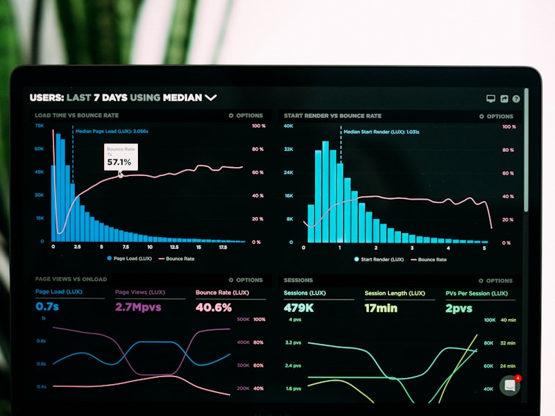
Over the years, I've sharpened my skills in GoLang, Python, React, and PostGIS, creating systems that balance backend performance with clean, interactive interfaces. At Farmdar, I engineered backend microservices and integrated GIS technologies to power spatial insights at scale. More recently, during my internship at Positium in Estonia, I worked on advanced web-based geospatial visualization, developing reusable map modules, automating BIM/CAD to GIS workflows, and deploying 3D visualizations using Cesium.js.
I'm currently finishing my Erasmus+ GEM MSc in Geo-information Science and Earth Observation, holding a double degree from University of Tartu and UCLouvain, with a focus on environmental modelling, mobility analytics, and spatial decision support systems.
When I'm not deep in code or maps, you'll find me hiking or exploring new cities. Let's connect and build something impactful!
Apr 2025 - Jun 2025
GIS Developer Intern at Positium
- Built reusable Map Module using React and TypeScript, applying best practices in version control and component design.
- Gained hands-on experience in configuring live servers, deploying frontend modules, and troubleshooting deployment workflows using Git and CI tools.
- Automated transformation of CAD/BIM files (DWG/DXF) into GeoJSON using Python, enabling smooth GIS integration.
- Successfully integrated 3D geospatial models into Cesium.js-based web apps, enriching user experience and supporting advanced spatial analysis.
- Adapted quickly to Positium's agile project environment, improved documentation and collaboration skills in a team-based setting.
Sep 2022 - Sep 2024
Software Engineer at Farmdar
- Developed and maintained backend systems with a focus on scalability and security.
- Integrated GIS technologies to enhance mapping and spatial data analysis in applications.
- Designed and implemented microservices to improve modularity and performance.
- Deployed and managed web applications on AWS, focusing on reliability and scaling.
Mar 2022 - Apr 2022
Software Engineer at PropSure Pvt Ltd
- Collaborated with project managers to design web application UIs.
- Developed a RESTful API for road network data using Express.js and PostgreSQL.
- Wrote complex SQL queries to calculate routes based on GIS road data.
Jan 2020
Freelance Software Engineer
- Developed custom Web GIS applications and dashboards for telecommunications and real estate sectors.
- Automated data collection with web scraping and data mining scripts.
- Completed 100+ projects on Fiverr, achieving Level 2 Seller status.
Jul 2021 - Sep 2021
GIS Engineer Intern at DHA Lahore
- Acquired and cleaned land parcel data for geospatial projects.
- Developed a web application to manage a large database of customers.
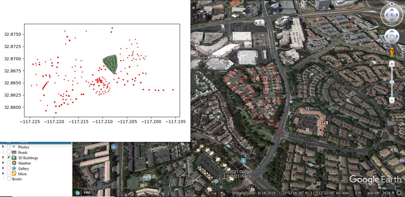
- Created 3D data visualizations and modeling for urban planning.
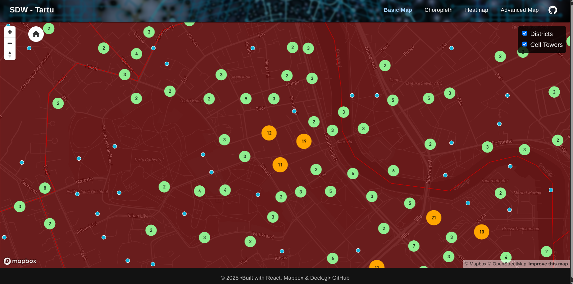
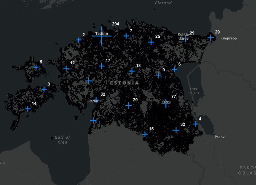
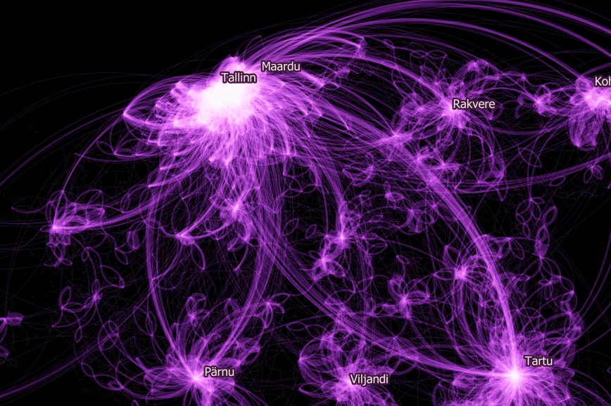
Tartu Cell Towers Visualization ↗
Interactive map visualizing cell tower coverage and signal strength across Tartu using Deck.gl, React, and Mapbox.
Erosia - Geospatial Erosion Analysis Platform ↗
A professional geospatial platform for erosion prediction and sediment flow analysis. Built by geospatial professionals for erosion control planning, featuring visual erosion prediction, hydrologic analysis, and advanced mapping technologies for MS4 requirements and SWPPP planning.

DuckGeoGPT - Spatial Database Query Tool ↗
An innovative geospatial application using Gemini 2.0 to query spatial databases with advanced features including data export capabilities. Built with modern web technologies for seamless spatial data exploration and analysis.
Geospatial Project Management Platform ↗
A comprehensive geospatial project management application featuring attendance tracking, project uploads, visualization tools, and advanced project management capabilities for spatial data workflows.

EE Health Care Facilities Map ↗
An interactive mapping application for Estonia that visualizes healthcare facilities and population density, supporting healthcare planning and resource allocation.
eSurvey Mobile Application and Web Portal ↗
Built for Farmdar: Customisable, pre-loaded crop development activity calendar, with task assignment, scheduling and audit for field managers

Showcase: Spatial Data Studio ↗
Dive into my Spatial Data Studio portfolio, where technology meets geography to solve complex spatial challenges.
Drone Path Mapping - Shapely ↗
Calculating and Mapping drone paths using shapely and Greedy Salesman