Skills and Tools
Education
Geo-information Science and Earth Observation for Environmental Modelling and Management
University of Tartu, UCLouvain, ITC
Estonia, Belgium, Netherlands
Bachelors in Geoinformatics Engineering
National University of Science & Technology
Pakistan
I’m Kumail, a GIS software engineer with a knack for transforming geospatial data into meaningful, real-world solutions. My journey began with spatial data analysis, but it wasn’t long before I found my passion in building full-stack applications that power impactful decisions. I’ve spent years honing my skills in technologies like GoLang, Python, React, and PostGIS, and I love crafting solutions that blend backend efficiency with sleek user interfaces.
Most recently, I’ve been engineering backend systems at Farmdar, where I integrated GIS technologies to enhance spatial data analysis and developed microservices that scale efficiently. Whether I’m deploying applications on AWS or leading the architecture of key projects, I thrive on solving complex problems and making data actionable.
When I’m not coding, you’ll find me hiking or exploring cities. Let's connect and build something extraordinary!
Sep 2022 - Sep 2024
Software Engineer at Farmdar
- Developed and maintained backend systems with a focus on scalability and security.
- Integrated GIS technologies to enhance mapping and spatial data analysis in applications.
- Designed and implemented microservices to improve modularity and performance.
- Deployed and managed web applications on AWS, focusing on reliability and scaling.
Mar 2022 - Apr 2022
Software Engineer at PropSure Pvt Ltd
- Collaborated with project managers to design web application UIs.
- Developed a RESTful API for road network data using Express.js and PostgreSQL.
- Wrote complex SQL queries to calculate routes based on GIS road data.
Jan 2020
Freelance Software Engineer
- Developed custom Web GIS applications and dashboards for telecommunications and real estate sectors.
- Automated data collection with web scraping and data mining scripts.
- Completed 100+ projects on Fiverr, achieving Level 2 Seller status.
Jul 2021 - Sep 2021
GIS Engineer Intern at DHA Lahore
- Acquired and cleaned land parcel data for geospatial projects.
- Developed a web application to manage a large database of customers.
- Created 3D data visualizations and modeling for urban planning.
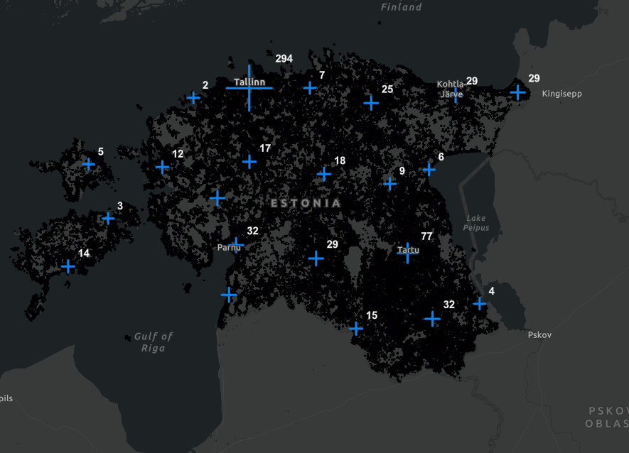
EE Health Care Facilities Map ↗
An interactive mapping application for Estonia that visualizes healthcare facilities and population density, supporting healthcare planning and resource allocation.
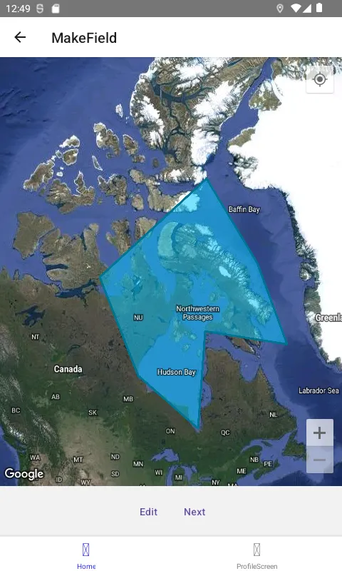
eSurvey Mobile Application and Web Portal ↗
Built for Farmdar: Customisable, pre-loaded crop development activity calendar, with task assignment, scheduling and audit for field managers

Showcase: Spatial Data Studio ↗
Dive into my Spatial Data Studio portfolio, where technology meets geography to solve complex spatial challenges.

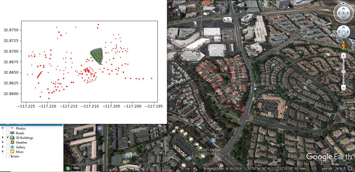
Drone Path Mapping - Shapely ↗
Calculating and Mapping drone paths using shapely and Greedy Salesman